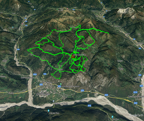
The network of walks on the plateau is very extensive. To give you an idea, here is a picture of some of the trails we have mapped. All the trails can be done from Casa Saveri , but for some it is better to drive a few kilometers.
Most of the trails are on paths and mule tracks, some sections are on paved road, but don't worry, traffic will never be a problem.
For some of them we have included a map, photos, a short description and the track to download in gpx format. This section will be updated as new tracks are added.
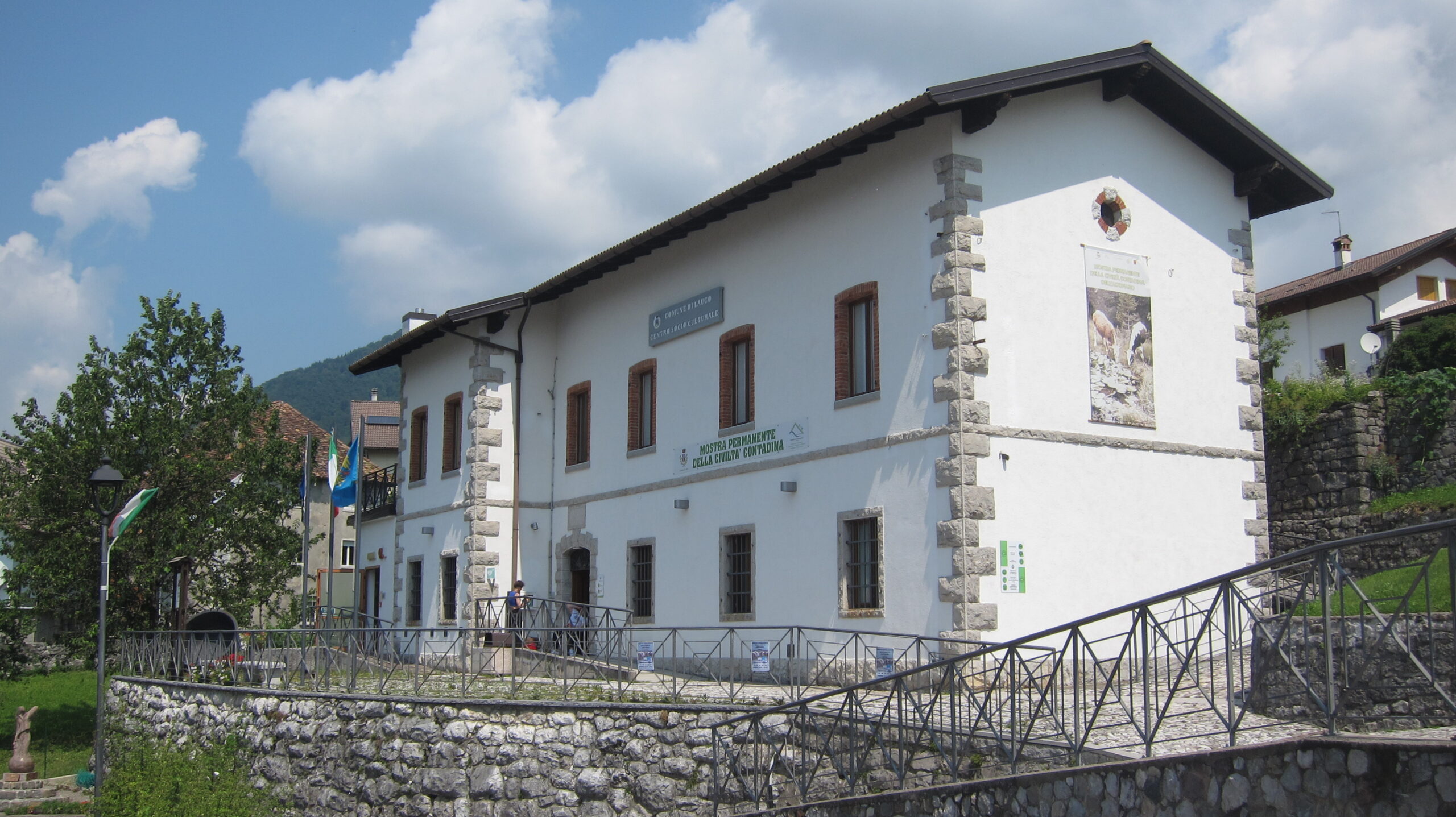
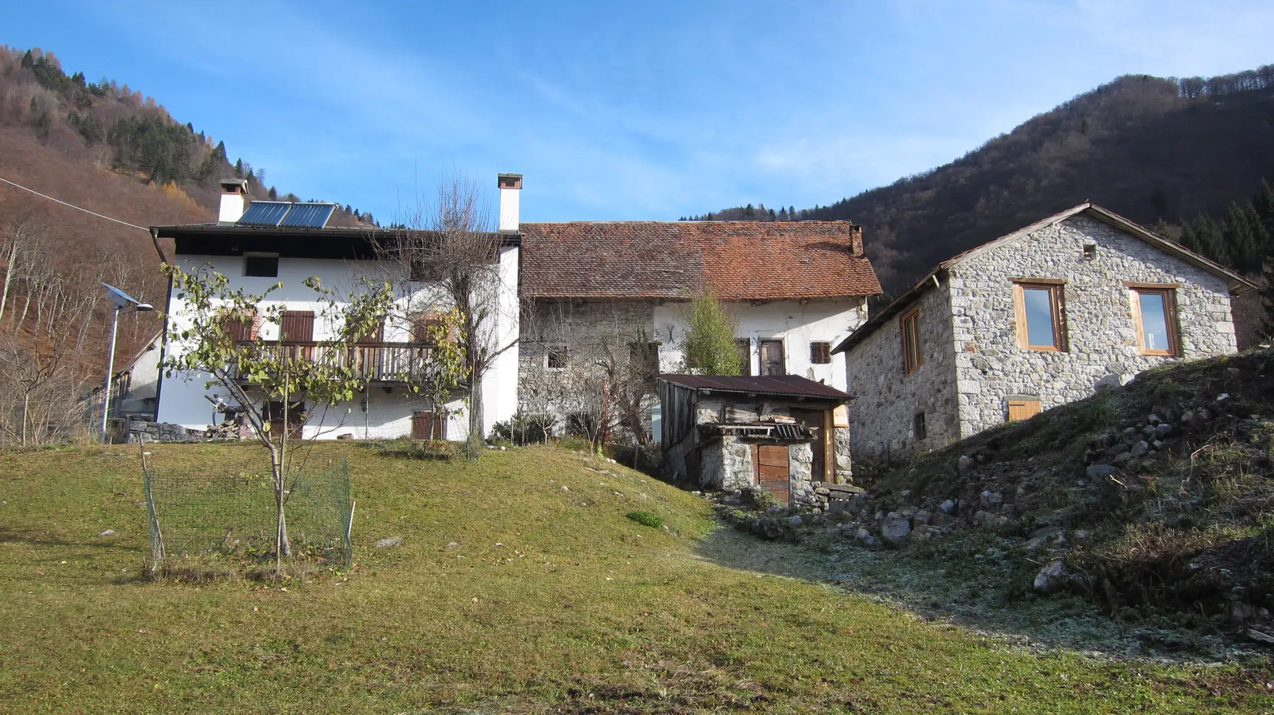
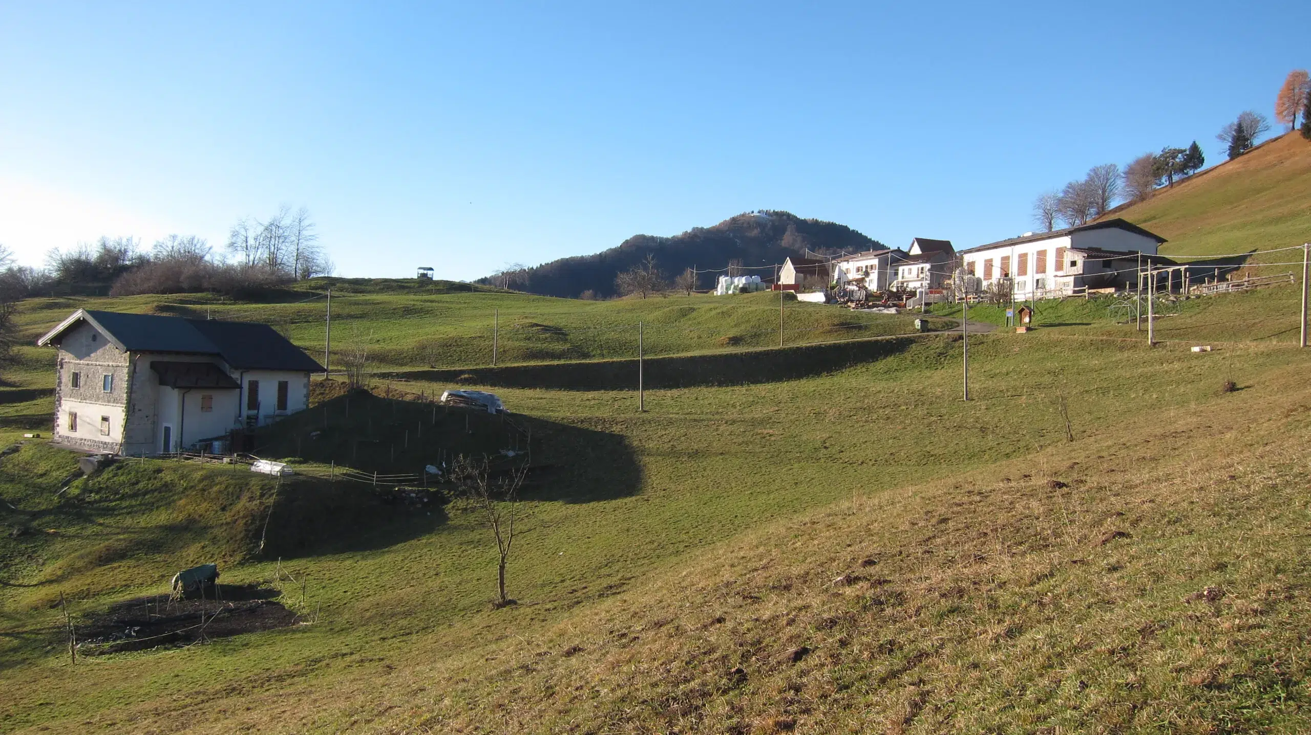
Other photos are available and will be added to the plateau section of the photo gallery page.
These descriptions and maps are only intended to give you a rough idea of the route; we disclaim any responsibility for their use and invite you to check the practicability of the route at the time of your excursion.
Index
Walk
Start
Length
Altitude difference
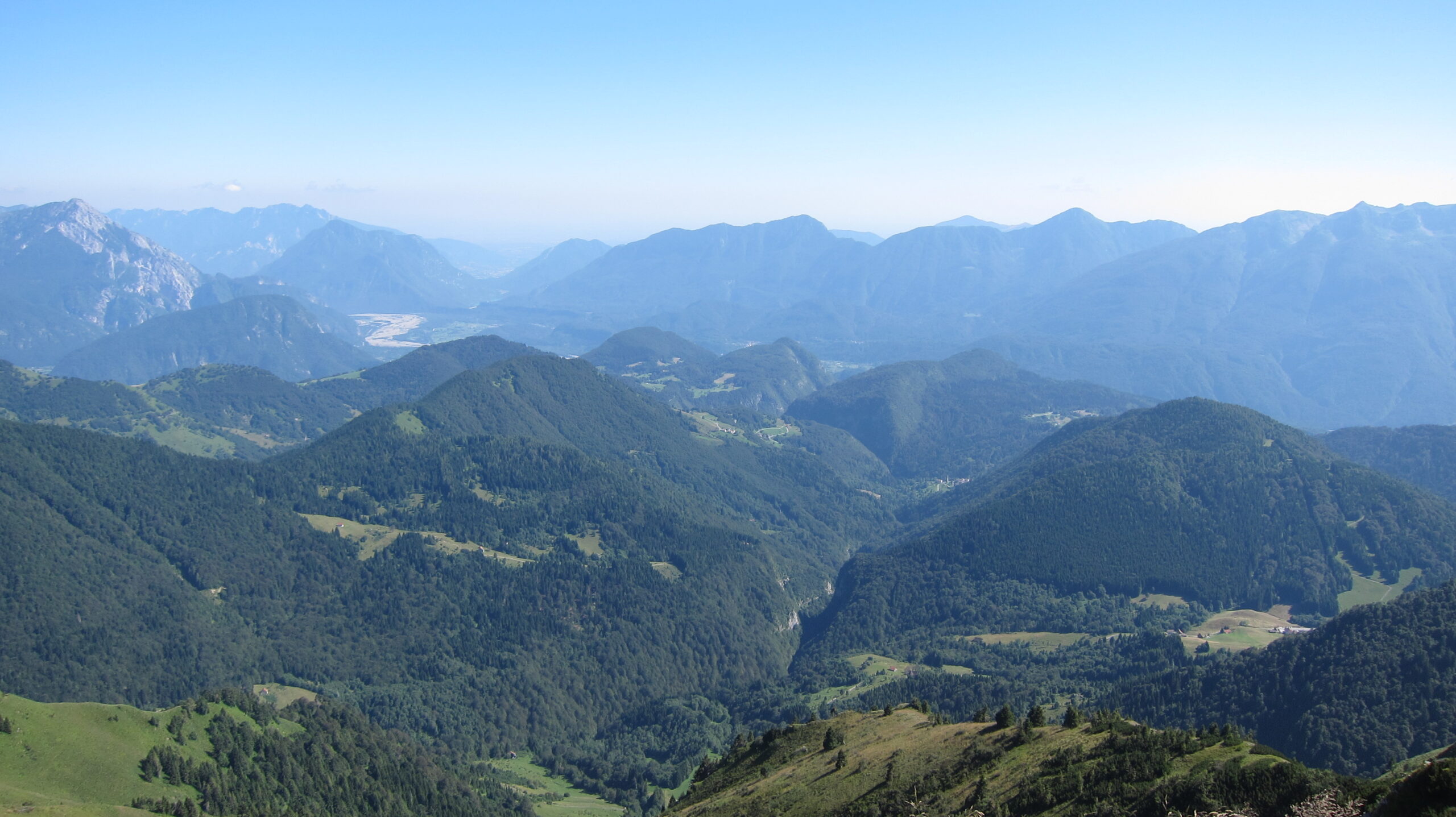
Mount Forchedana
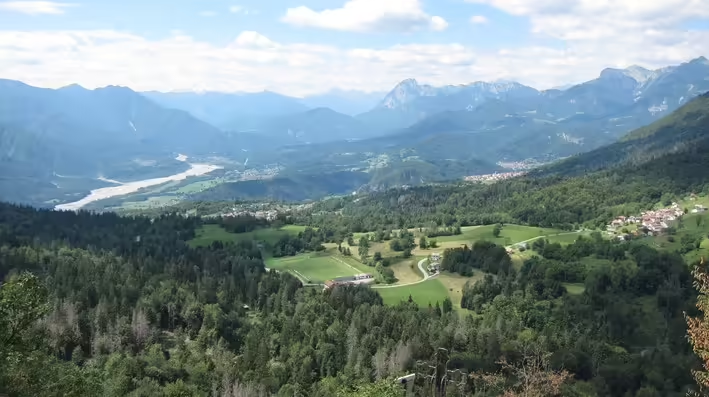
The ascent of Mount Forchedana is a "must", both because it is easy and short, and because it offers a beautiful view of the Allegnidis plain, including part of Casa Saveri.
The itinerary we have included is the medium one, which, after reaching the viewpoint, involves a short descent and then a loop with a total difference in altitude of about 250 meters. Alternatively, you can do a direct route or a loop at a higher altitude and continue towards Monte Cretis (more difficult), reducing or increasing the distance by about 1 km and the total height difference.
Download file: Forchedana.gpx
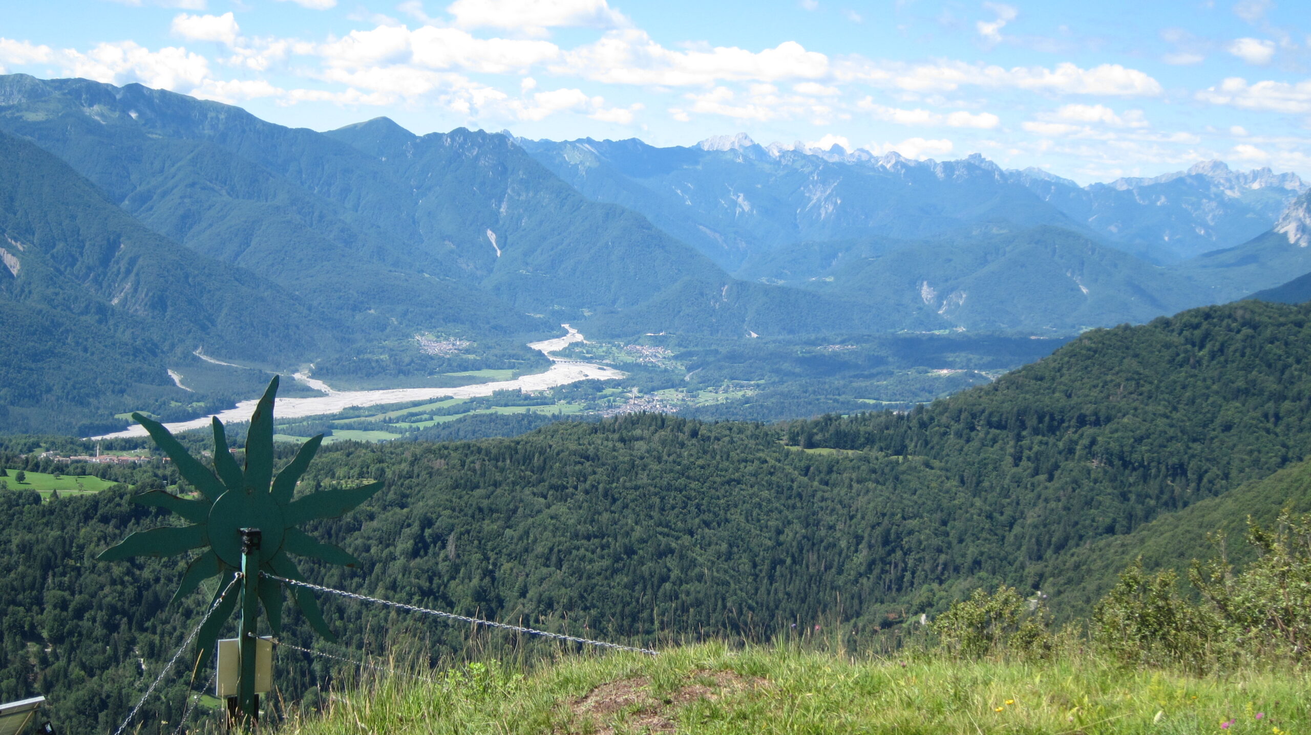
Mount Cretis
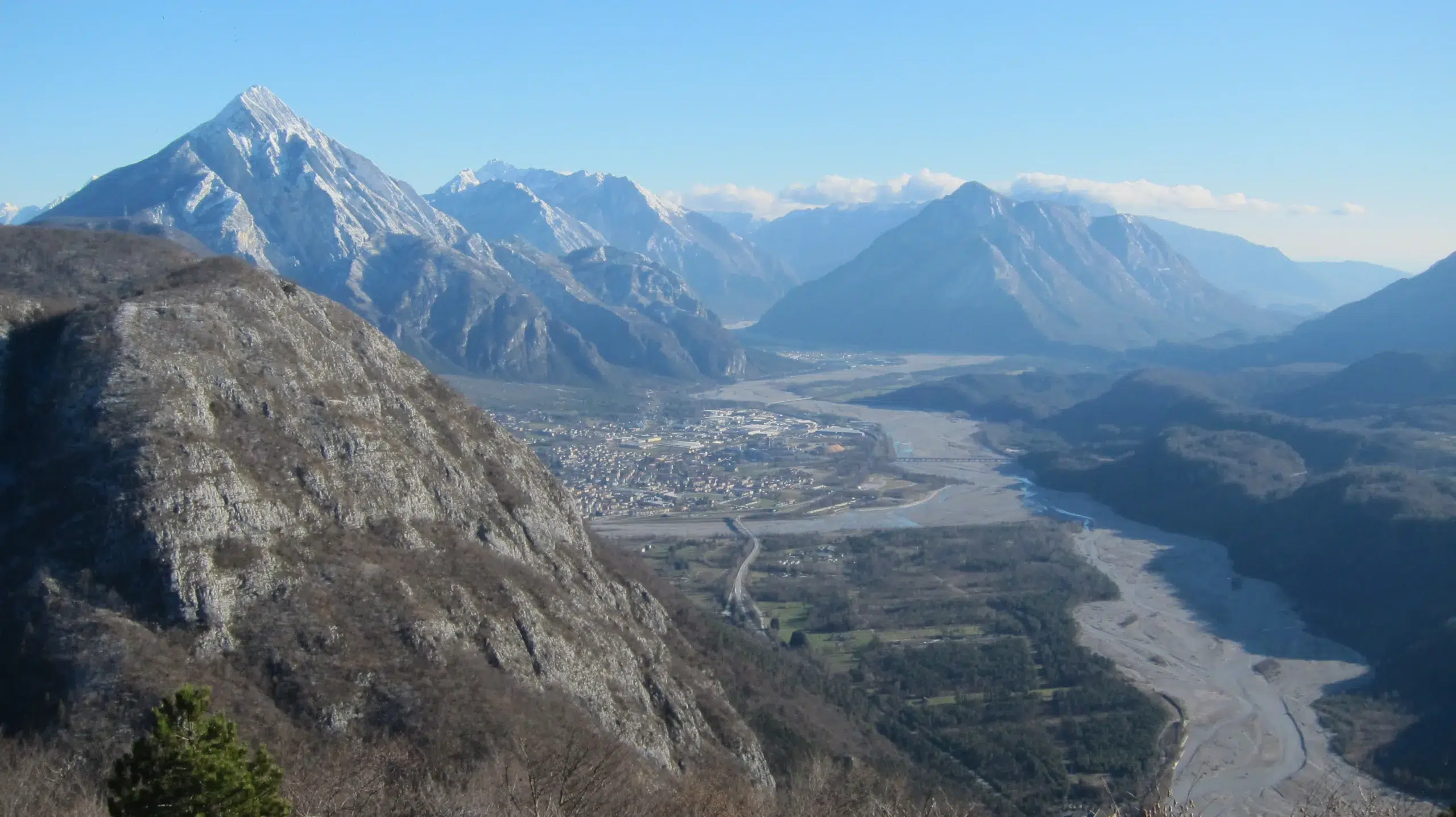
The climb to Monte Cretis, 1041 meters, allows you to cross the woods above the nearby Porteal locality and, after a climb of about 200 meters, to reach a beautiful viewpoint over the Tagliamento valley. It is not uncommon to see numerous griffon vultures from the Cornino lake reserve circling above us or further down in the wide spaces that separate us from Villa Santina.
To reach the summit, we have suggested the direct route, but there are some alternatives that allow us to extend the tour.
Download file: diretta-del-Cretis.gpx
Trava Avaglio Lauco ring
This circular route crosses the westernmost part of the plateau, passing through the hamlets of Trava and Avaglio before returning to the main town. The route is partly on dirt road, which is always easy, and partly on paved road, with a total difference in altitude of about 700 m. We recommend a stop at the Sanctuary of the Madonna di Trava (book opening).
If you want to stop for lunch, in the hamlet of Trava you will find the "Al Cral" tavern and kitchen, while in Lauco you will find the "Alla Frasca Verde" restaurant. If you do not feel like walking after lunch, or if you want to shorten your walk, you can return by bus (weekdays only - check the timetable - line 121).

Download file: anello-Trava-Avaglio-Lauco.gpx
Paths to Lauco
There are several ways to reach the nearby main town. The most convenient is the asphalted road (2 km and 160 m of difference in altitude), but it is also possible to take a mixed route by following the path that starts from Allegnidis and, after a short stretch of road, enters the hamlet of Chiauians and then descends to Lauco.
Here we suggest a circular route that uses two different paths for the outward and return journey, with a total difference in altitude of 350 m.
Download file: anello-sentieri-x-Lauco.gpx
Tarlesse – Val – Runchia Ring
This wide ring road, with some paved sections, allows us to pass through many small villages on the plateau. The route is quite demanding due to its length and the difference in altitude of more than 1000 m, but it is easy to adapt to your needs. We pass through the stavoli of Tarlessa and Aiers and the villages of Val and Trischiamps before descending southwards through Runchia and Vinaio.
Download file: anello-Tarlesse-Val-Runchia.gpx
Uerpa ring
The circular route we suggest starts from Uerpa (6 km by car) and has a difference in altitude of 500 m. With a beautiful walk along forest paths, we will circumvent Mount Vas, passing through the beautiful villages of Uerpa, Pesmolet, Dolacis and Vas. A short detour after Dolacis leads to the Corce alpine hut.
Download file: anello-Uerpa-Dolacis-Vas.gpx
Radime waterfall ring
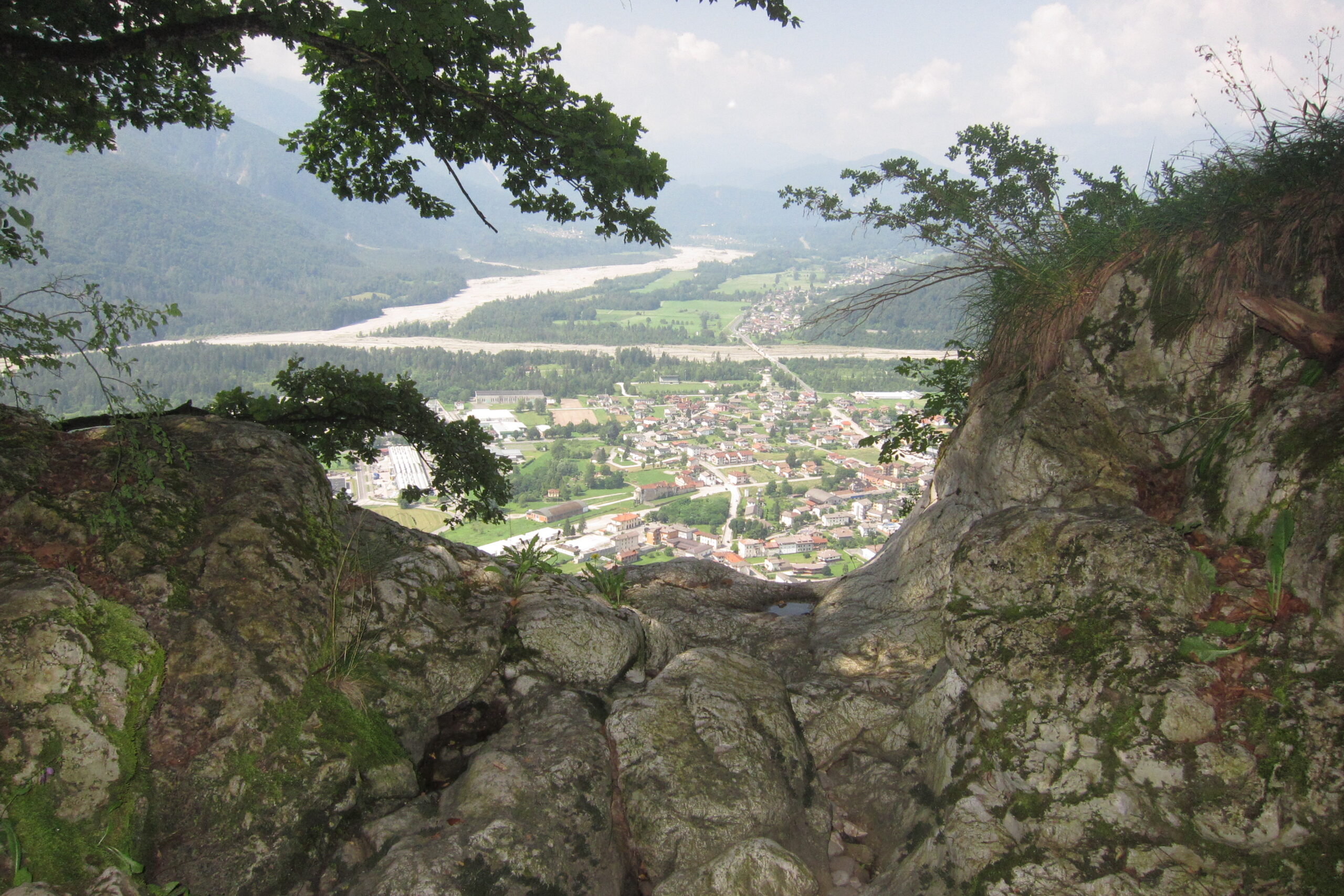
This route starts from Lauco's church, so add the transfer by the route of your choice, and takes us along the southern edge of the plateau on an easy path (150 m total difference in altitude), with many views of Villa Santina below. At the southern end of the trail, it is possible to see where the Radime cascade starts its 230m descent (after the rains) and where the "Farine dal Diaul" fixed rope route begins. Just before returning to Lauco, there is a junction that, after 500 meters, leads to the pre-Roman tombs of Curs.
Download file: anello-cascata-Radime.gpx
La Mainute small ring
This short walk of just over 2 km takes you, after crossing Allegnidis, along Viale dei Faggi (Beech Tree Path) that begins near the church and then, turning left, to a table with benches in the woods. It is the ideal place for a picnic close to home or for a refreshing break.
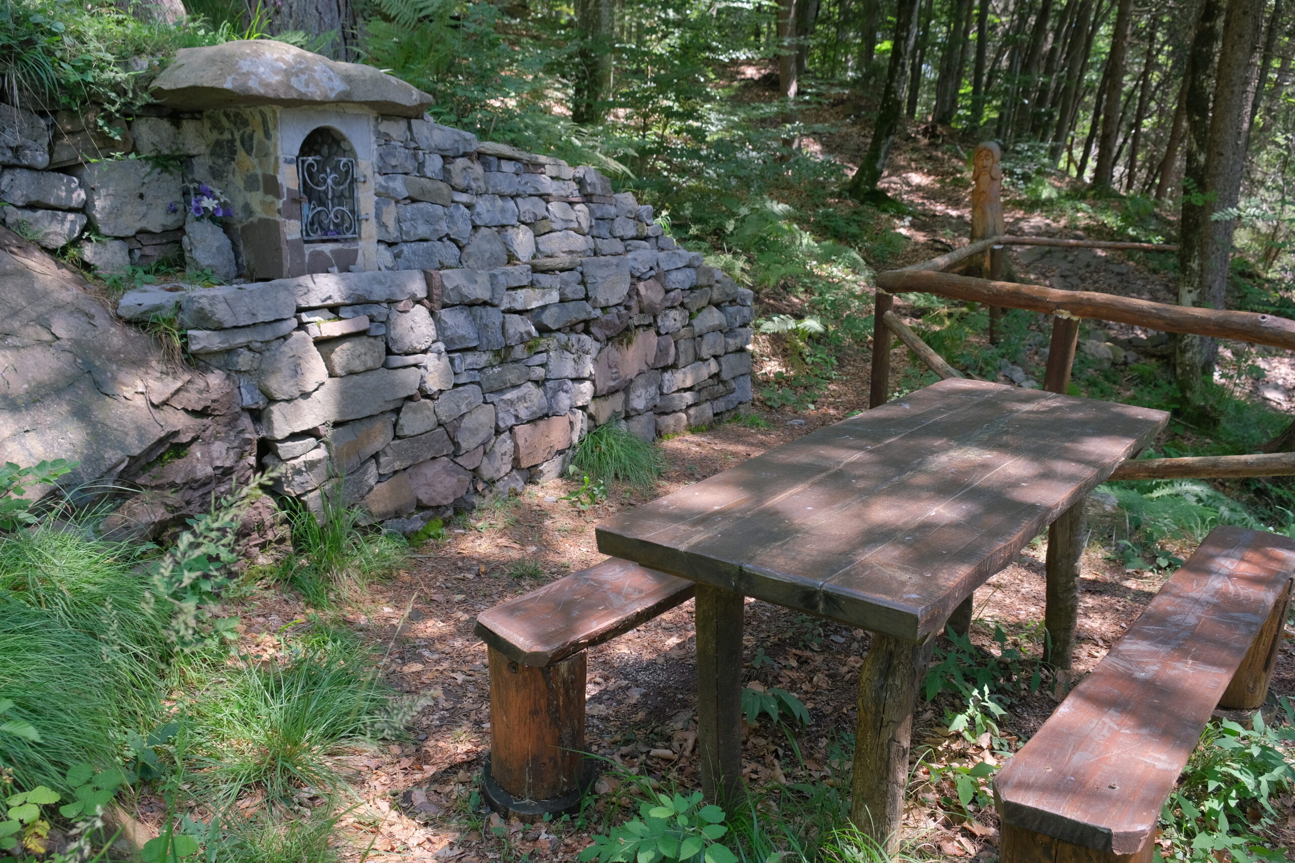
Download file: anellino mainute.gpx
Mount Arvenis ring
Standing at a height of 1968 m, Mount Arvenis is “the top” of Lauco Plateau. The walk required to reach the summit can be challenging length wise (13 km), as well as in elevation gain (around 850m), even though the trail is consistently pretty easy, with just the final segment being a little harder. Your efforts will be rewarded by the beauty of the view when you will get there (especially in the morning), and that’s the reason why I feel like suggesting this excursion to anybody who’s trained for it and owns proper boots.
This walk is a closed trail ending where it starts (Val di Lauco) that touches Malga Claupa in the first half, and malghe Agareit, Meleit and Chias di sotto on its way back.
Download file: anello monte Arvenis
Cidulars' edelweiss on Mount Vas
A short walk (around 3 km total) starting from Uerpa brings us, after 200 m altitude difference, to the beautiful seesight on the slopes of Vas Mount where we can also find a large edelweiss. Map is only showing the way there.
From here it’s possible to keep walking towards mount Vas summit and, after walking down the trail that links it to mount of Runchia, start our way down passing from Vas or Pesmolet (take a look at “Uerpa ring”)
Download file: stella alpina monte Vas – andata