
We would like to give you some hints about what you can find in the Altopiano di Lauco (Lauco's Plateau); this is not an exhaustive list but a starting point for further exploration.
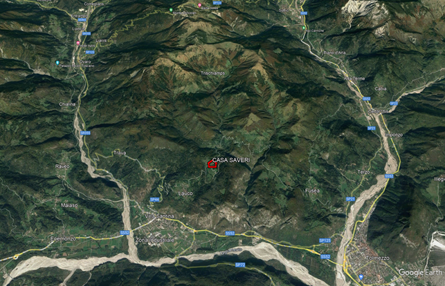
CASA SAVERI is located at an altitude of 900 meters in Allegnidis, a small hamlet in Lauco's municipality, which belongs to Associazione Borghi Autentici d'Italia (Authentic Italian Villages Association ).
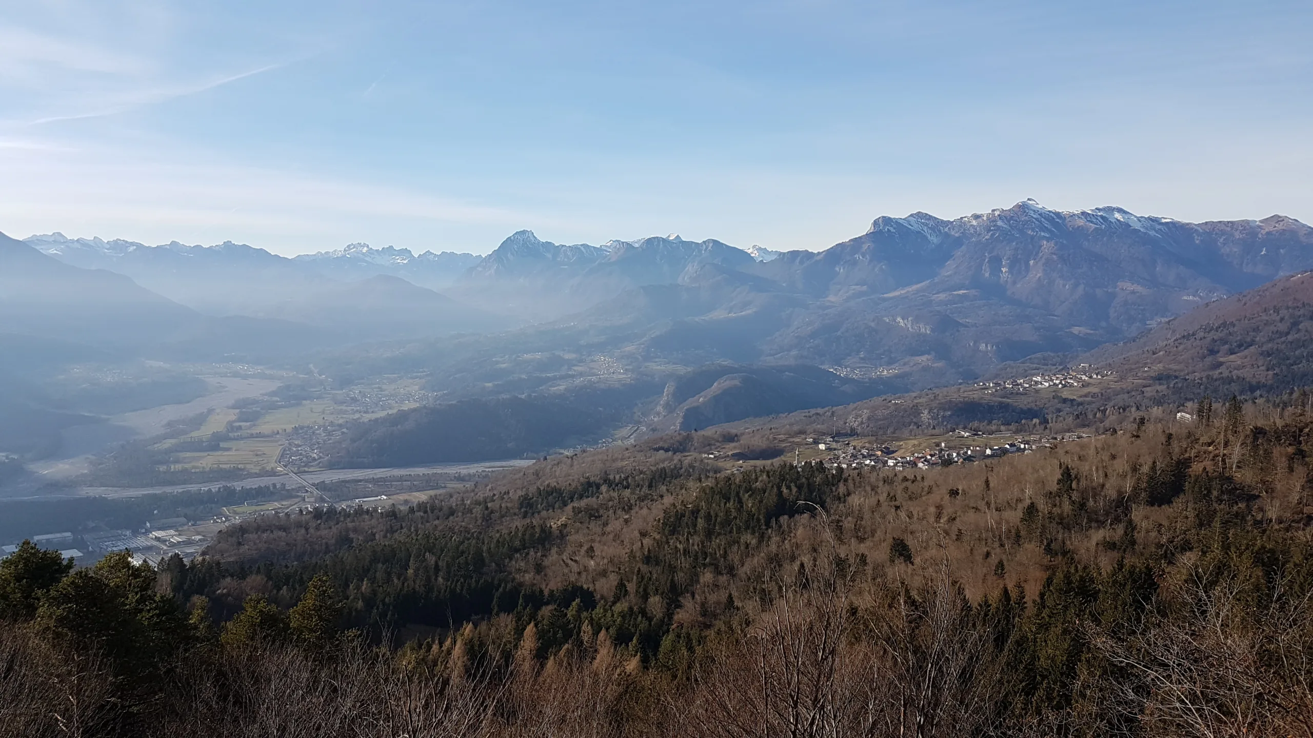
Lauco's plateau, within the Parco Intercomunale delle Colline Carniche (Carnic Hills' Intercommunity Park), is roughly bounded by the Tagliamento river valley to the south, the Degano river valley to the west, the courses of the Vinadia and Chiantone streams to the east, and Mount Arvenis to the north.
Allegnidis
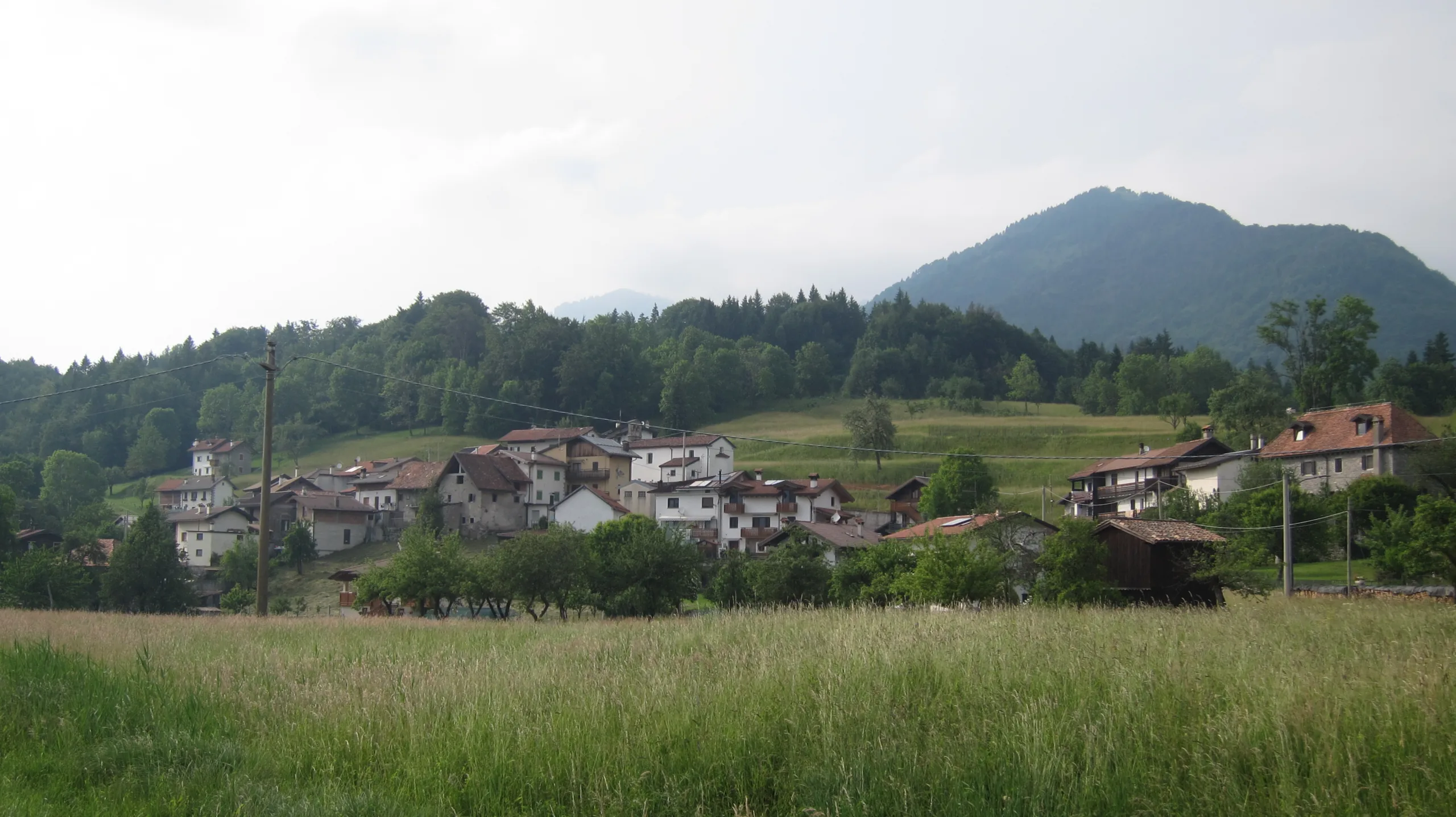
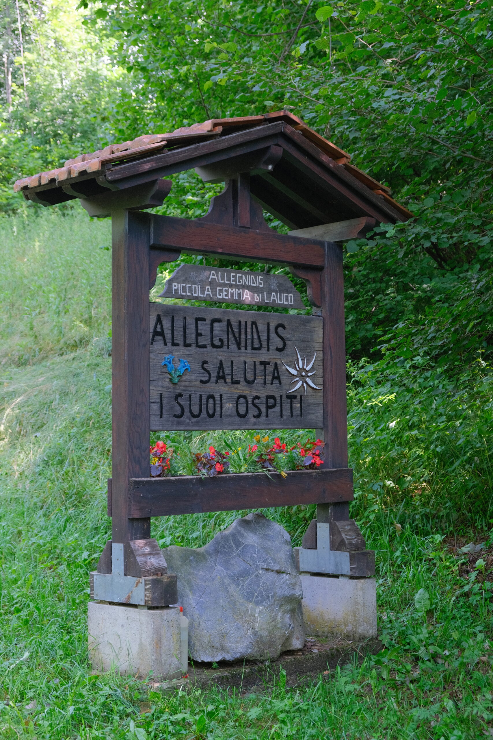
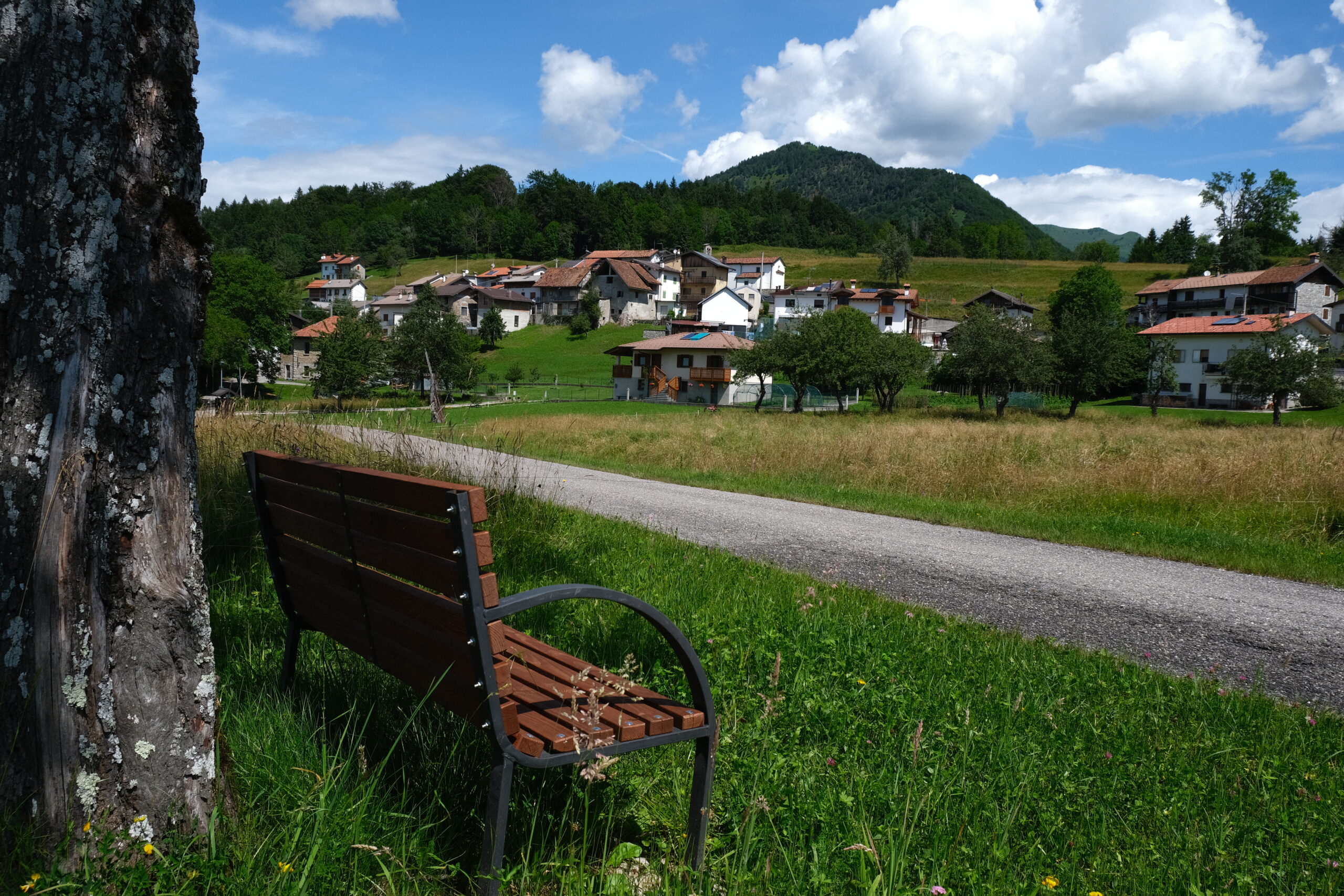
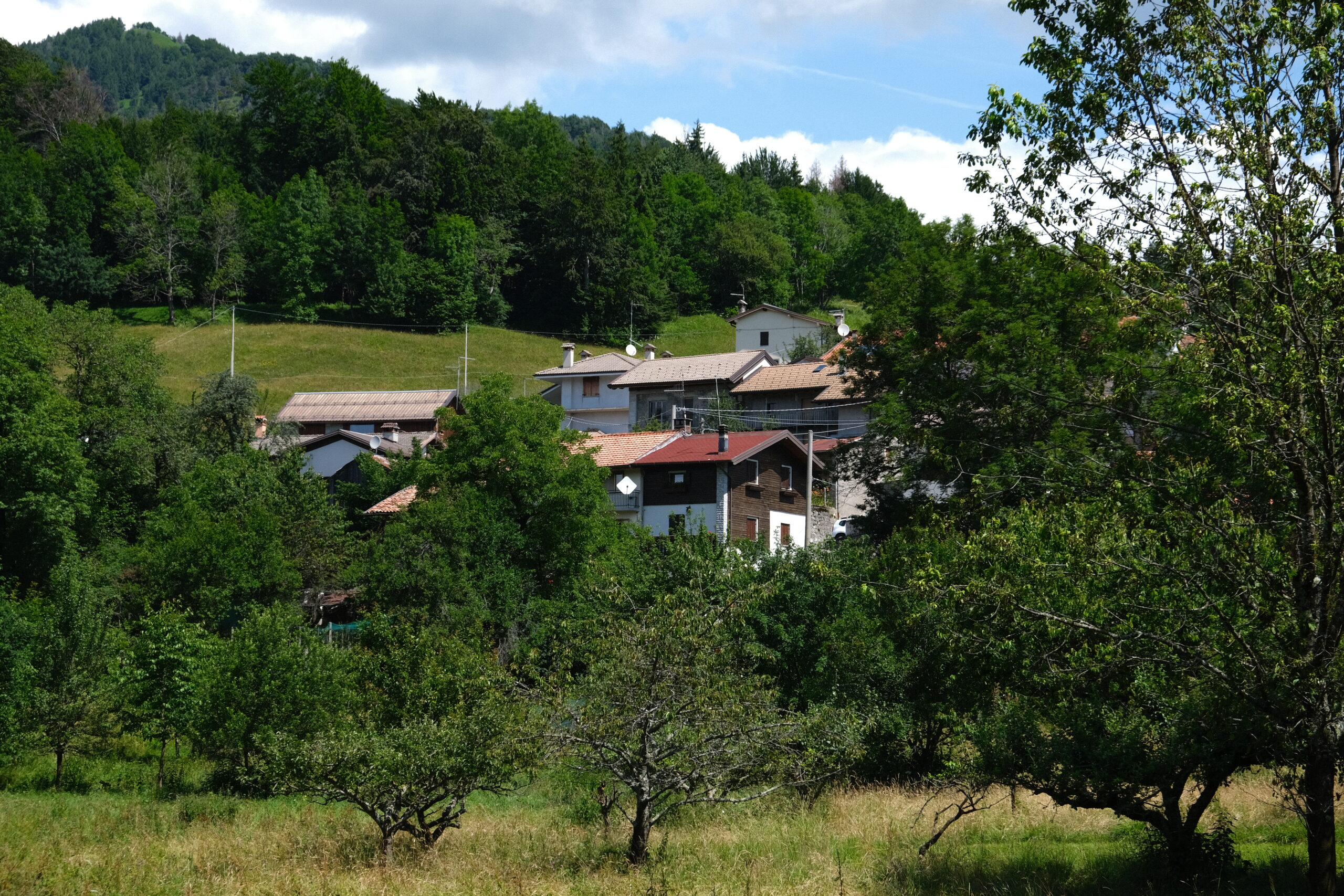
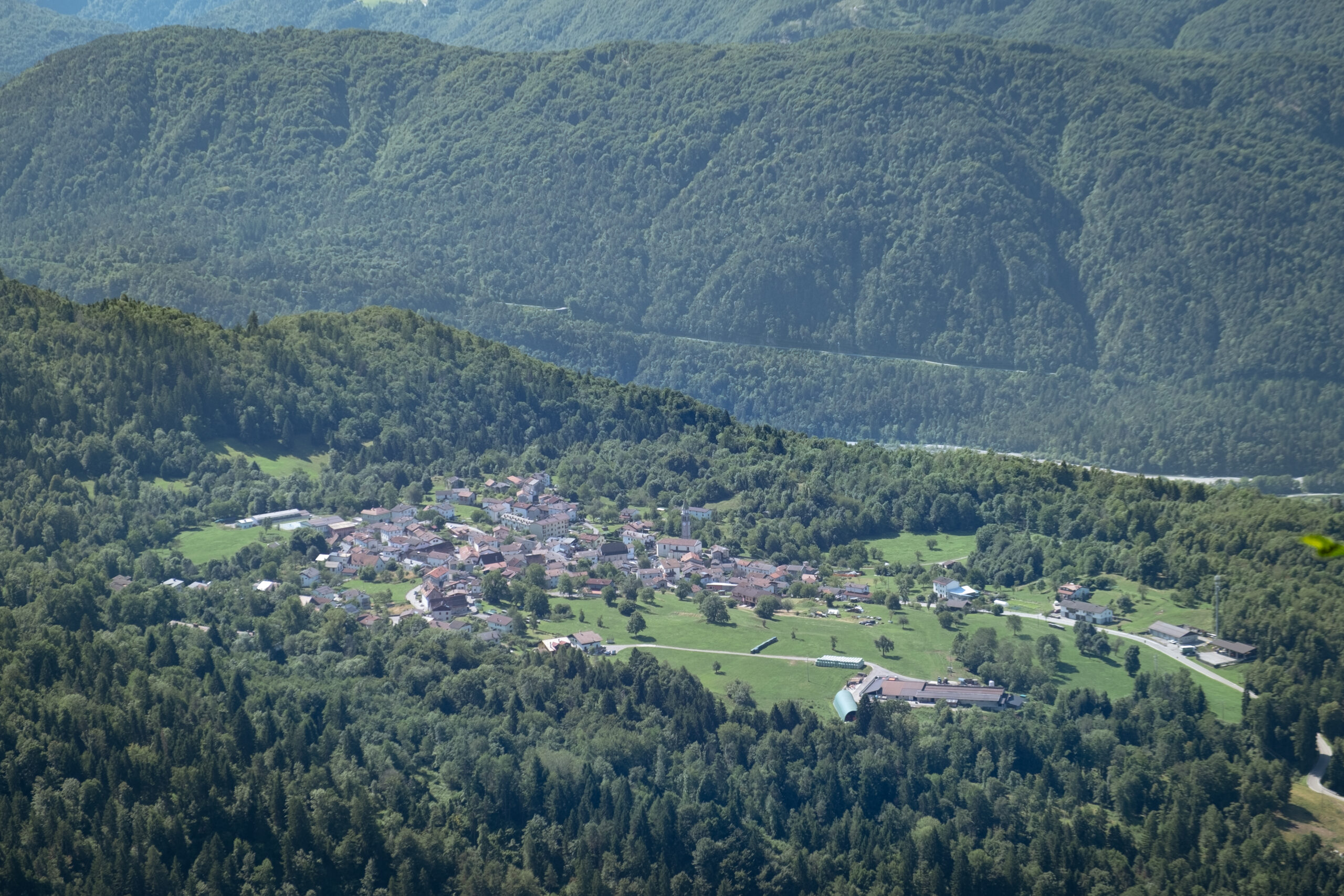
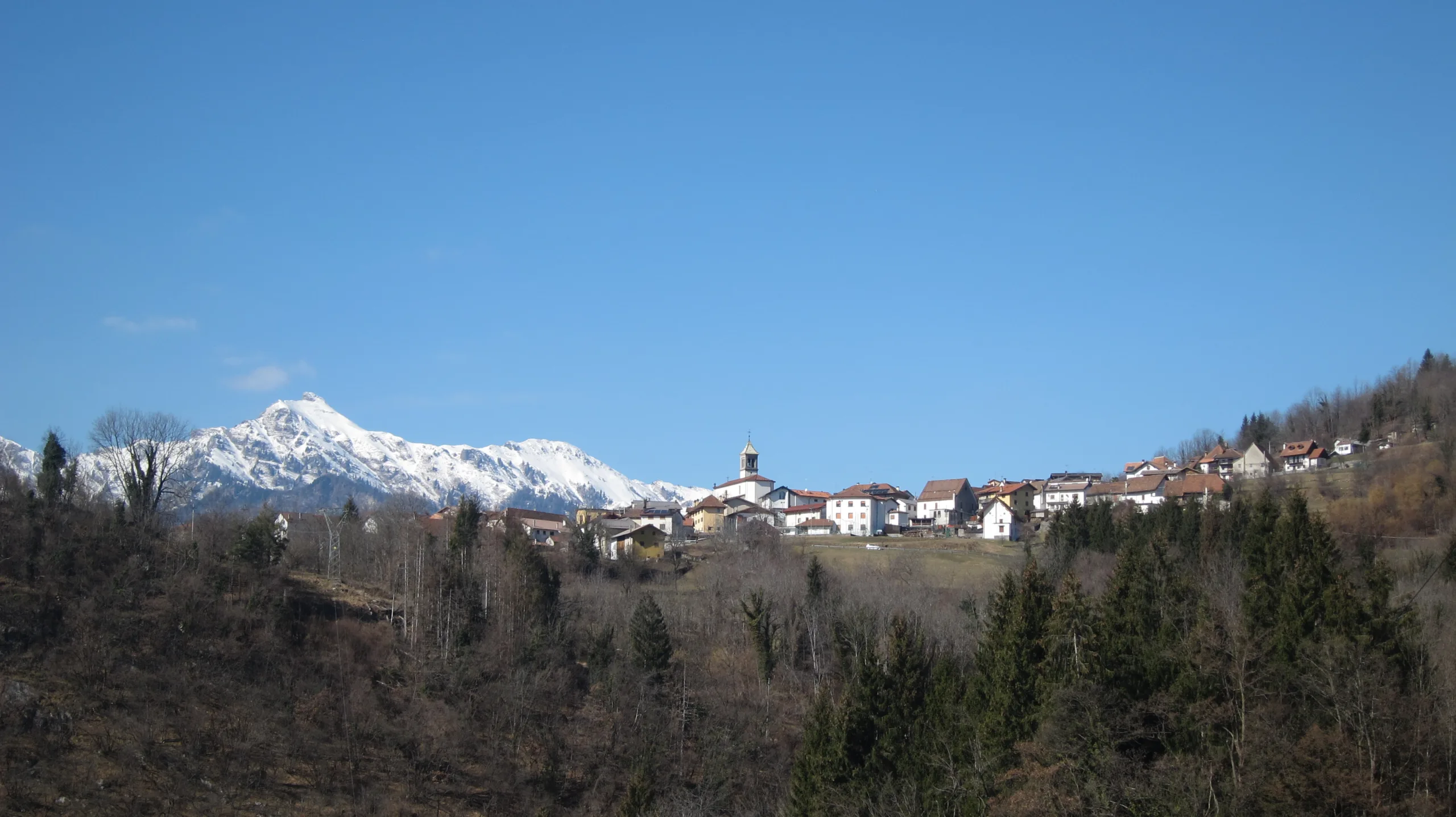
Allegnidis is truly "Lauco's little gem," as the welcome sign at the entrance says. The hamlet has a population of around 20 people and is lcoated among the meadows at the foot of Mount Falchia. Allegnidis is situated in a perfect south-facing position and the wide open spaces that surround it, offers long sunny days.
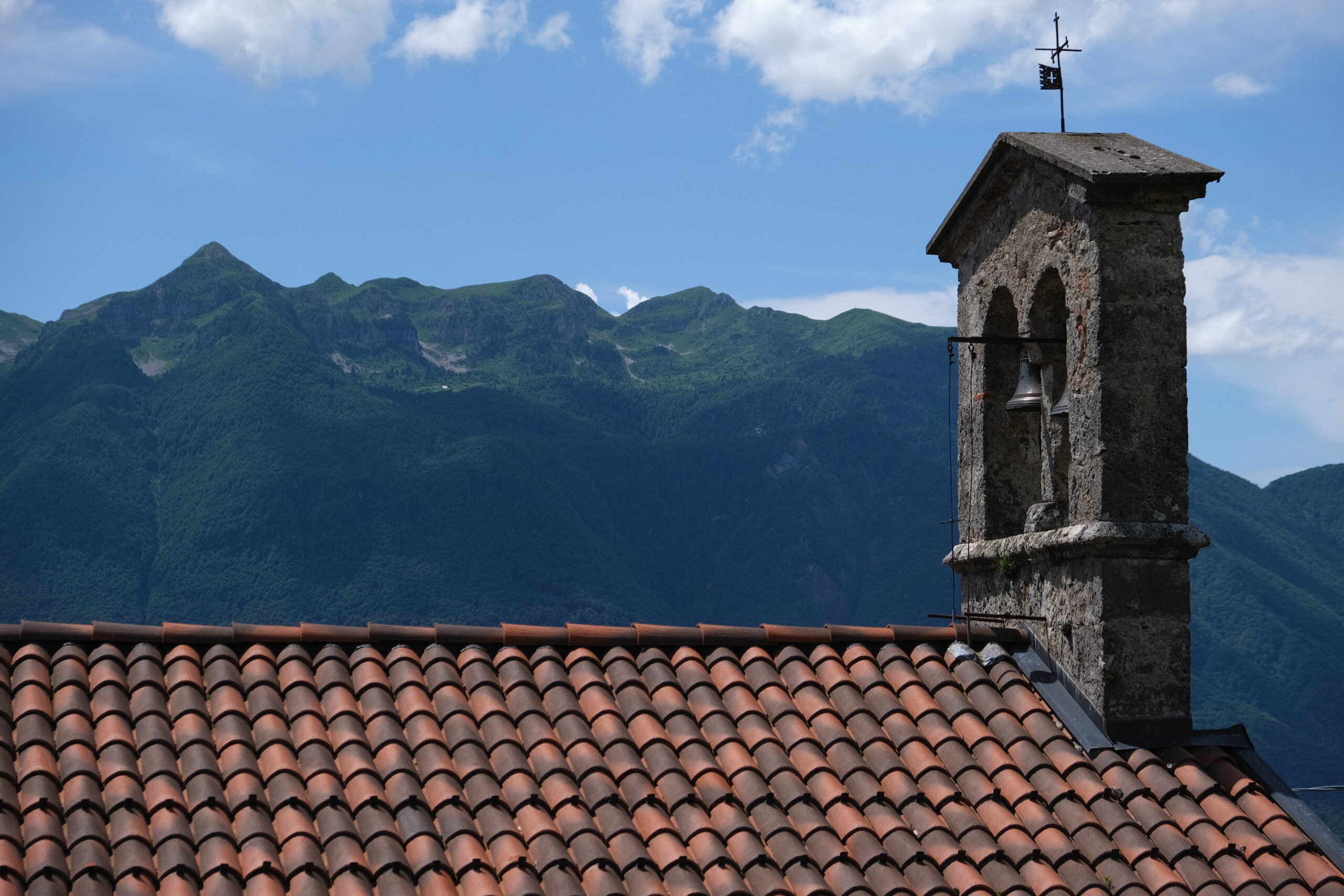
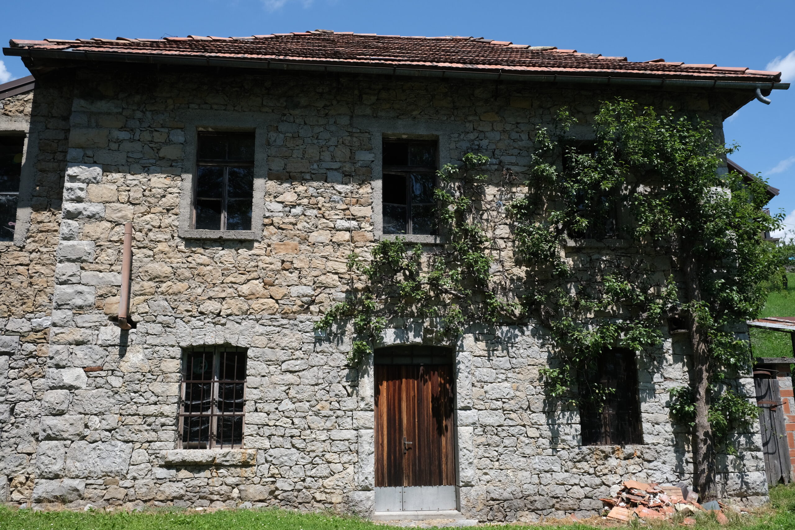
In the village you can admire some typical Carnic houses and the little church dedicated to the Madonna delle Grazie (Our Lady of Grace). Don't miss the walk on the plain above the village where deer gather at dawn before disappearing into the nearby woods.
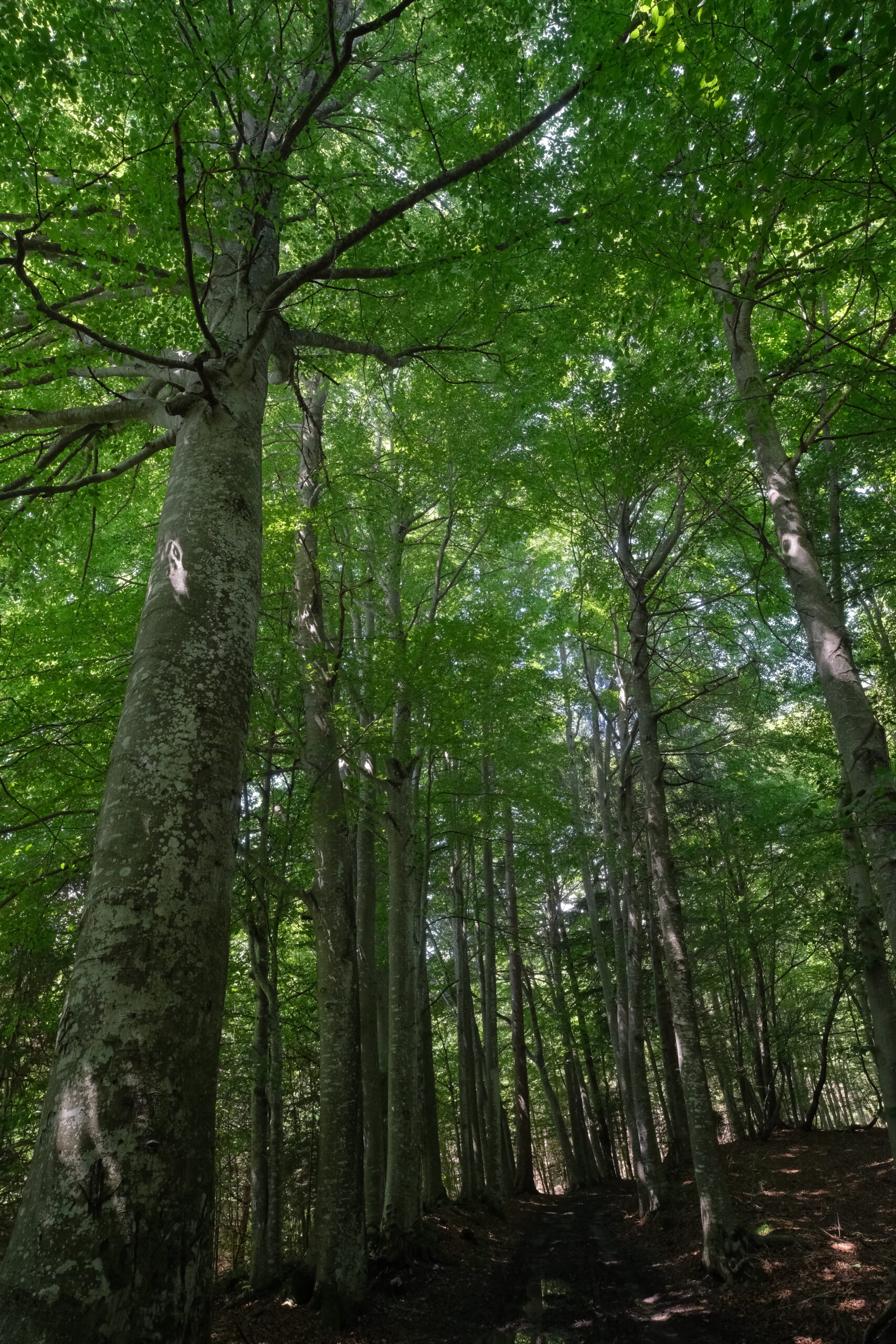
Follow the path that starts from the little church, and you will find yourself surrounded by "Viale dei Faggi" (Beech Tree Path). Just less than one kilometer away is the "Stavoli Plauchianis", a meeting point for many trails. From here, you can reach Lauco, Avaglio, Trava, Mount Falchia, "Stavoli Tarlesse," and Val di Lauco.


In front of Casa Saveri, which is 300 meters from the "center", passes the cross-country skiing track and a mountain bike trail that leads to the legendary Monte Zoncolan.
Porteal
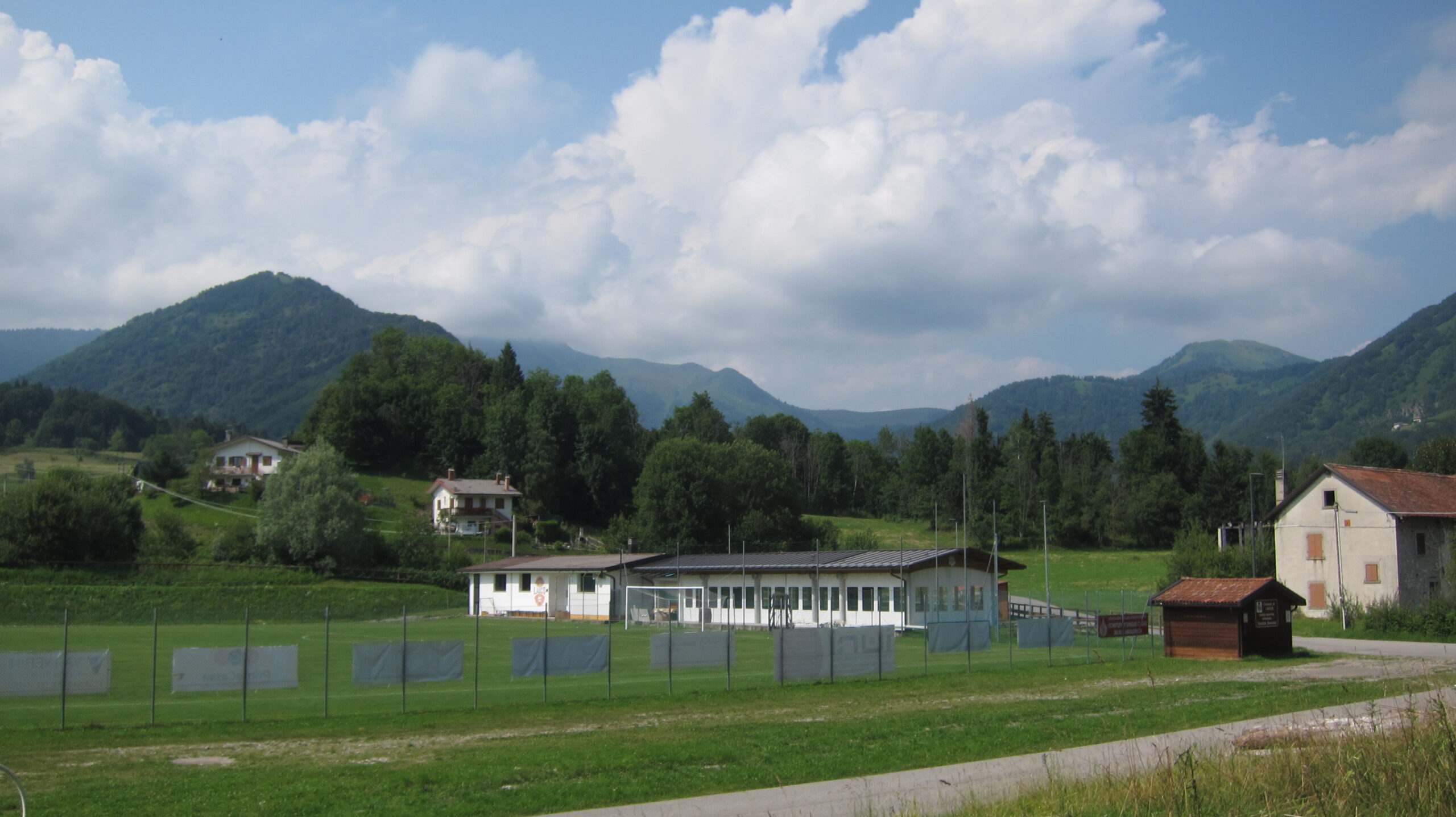
You will find Porteal locality just 350 meters away from Casa Saveri. Many trails and mule tracks lead to Mount Cretis, Mount Forchedana, Chiarset, and Cuel Covon from here. You can then continue either to Lauco or directly to Villa Santina.
Porteal locality hosts a sports ground where Lauco local football team compete for the Carnic championship. You can also find a covered area where local festivals and events take place. Nearby there are charging points for electric vehicles.
You can also visit the ancient tombs of the Gans along the road to Lauco, in Clapò locality.
Lauco
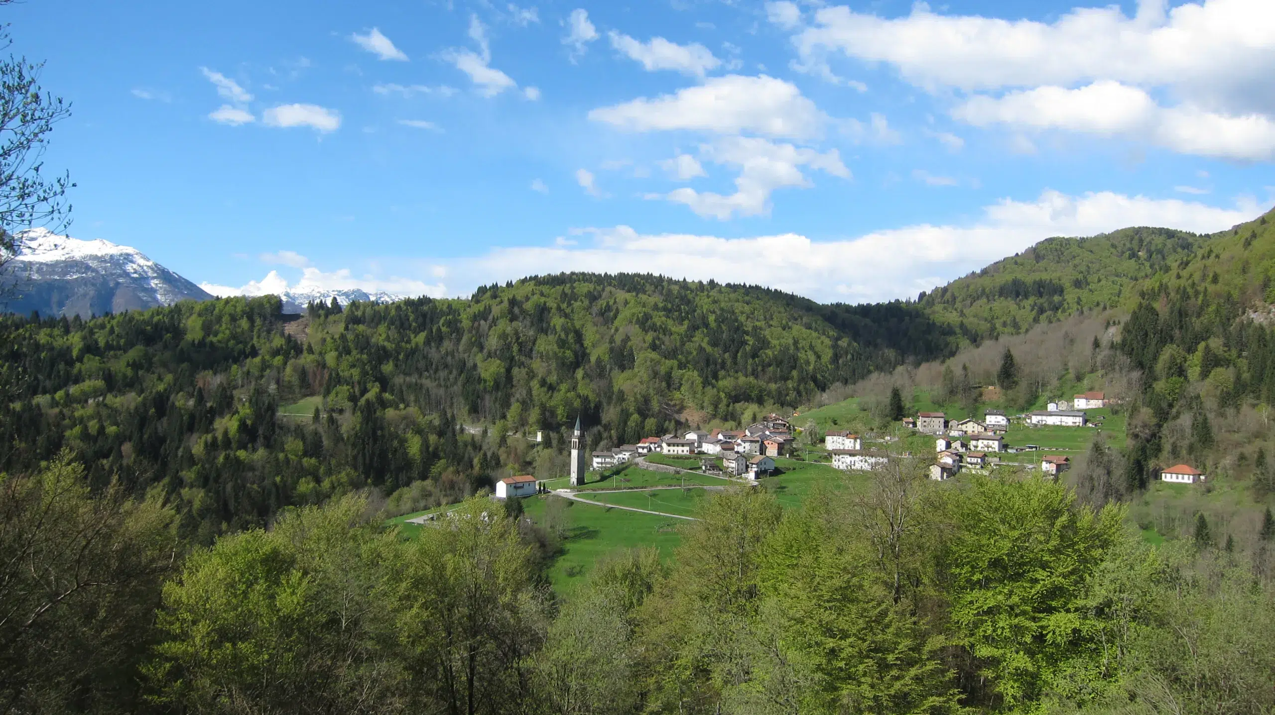
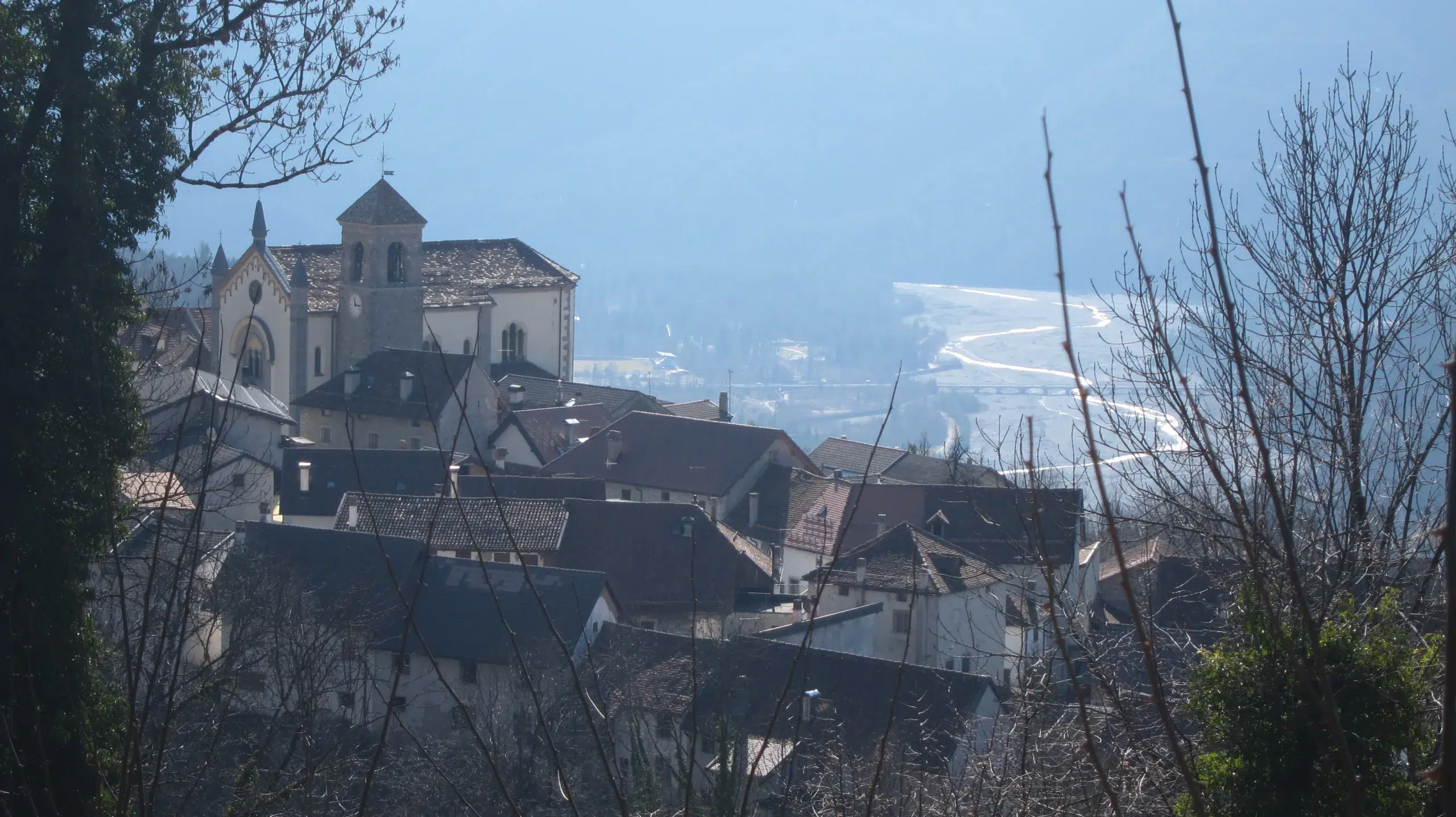
Lauco is just 2 km away, and can be easily reached walking along the paved road or through one of the forest trails that connect it to Allegnidis.
Lauco provides some services such as the post office, the grocery store with a coffee shop "Vèm", the restaurant "Alla Frasca Verde" and "Agriturismo KM 0". There are also two farms: the "Dionisio Sonia" farm, that breeds cattle and the " Candotti Giovanni farm" that raises goats. You can directly purchase cheese from both farms.
The former dairy, which has been nicely restored, hosts the Permanent Exhibition of Peasant Civilization.
If you take a brief walk towards the south of the village, you will reach the Curs locality, where you can discover pre-Roman tombs. Continuing for a few hundred meters towards the southern edge of the plateau, you'll arrive at a panoramic terrace , where you can admire a splendid view of the Tagliamento valley. Right next to the terrace, the Radime stream originates (only after rain) the spectacular Radime waterfall, which plunges more than 200 m to Villa Santina. Nearby, you'll also find the arrival point for the via ferrata "La Farina del Diavolo".
Vinaio
Vinaio is located approximately 3 km to the north but can also be reached from Allegnidis by taking a more "direct", albeit bumpy, trail.
Numerous trails and paved roads lead to Val di Lauco and Buttea from this point.
Vinaio's historic dairy has been refurbished and is now used to hold events as part of the Terre d’Incanti project.
The hike to the Vinadia Gorge is breathtaking but can be challenging.
If you're in the area during Easter, you'll have the chance to see a living representation of the Via Crucis (Way of the Cross).
Avaglio
Avaglio is a beautiful hamlet situated in a panoramic and sunny position in the western part of the municipality, 6 km from Casa Saveri. Here you will find the historic washhouses.
In Avaglio, you'll also find "Las Radîs" bar, Agricola Rovis headquarter, which sells its "mountain products" in all the local markets, and Bioapicoltura Pura, where you can buy honey and much more.
Trava
Even Trava, just after Avaglio, is a charming village, well worth a visit. You can visit the sanctuary of the Madonna di Trava (verificate qui le modalità di apertura), the church of San Michele Arcangelo and enjoy a traditional meal at Al Cral.
Uerpa – Vas – Pesmolet
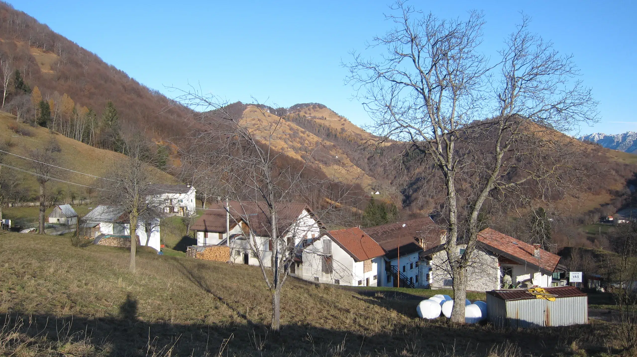
If you continue from Vinaio towards Buttea, after passing through the small hamlet of Plugna, you will come to a crossroads where, after a few hundred meters, you turn left towards the hamlet of Uerpa and then Vas and Pesmolet. These small villages, situated 6 km from Casa Saveri, offer excellent panoramic views, splendid exposure, and trails in the surrounding woods, making them worth a visit. On 31 October, Pesmolet renews the tradition of the "Tîr des cidulis“.
VAL
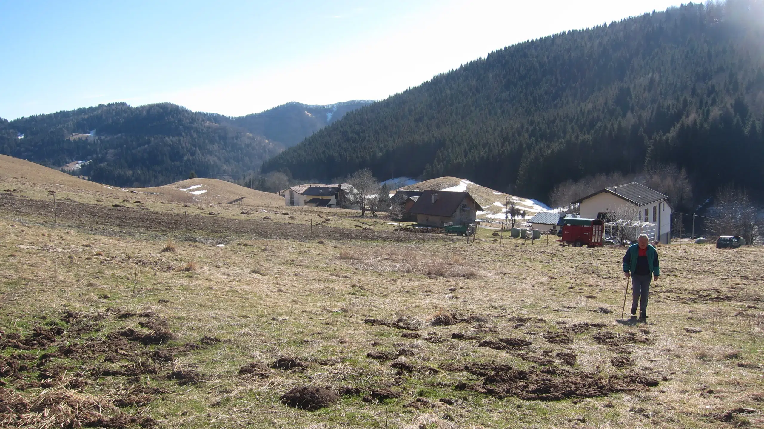
Val di Lauco, which is situated 6 km away from Allegnidis at an altitude of 1190 m, is the highest locality in the municipality. It is the perfect starting point for people who want to hike at high altitudes, especially to reach the peak of Mount Arvenis.
Buttea

Situated 7 km from Casa Saveri, Buttea is the eastern outpost of the plateau. It is the starting point of the only road that leads directly to the municipality of Tolmezzo. It is a beautiful route, particularly for motorcyclists, which, after crossing the Chiantone stream that separates the two municipalities, reaches the Curiedi plain and the hamlet of Fusea, and then descends into the But valley. As in Pesmolet, also in Buttea, but on the 30 October, you can witness the "Tîr des cidulis“.
Chiassis
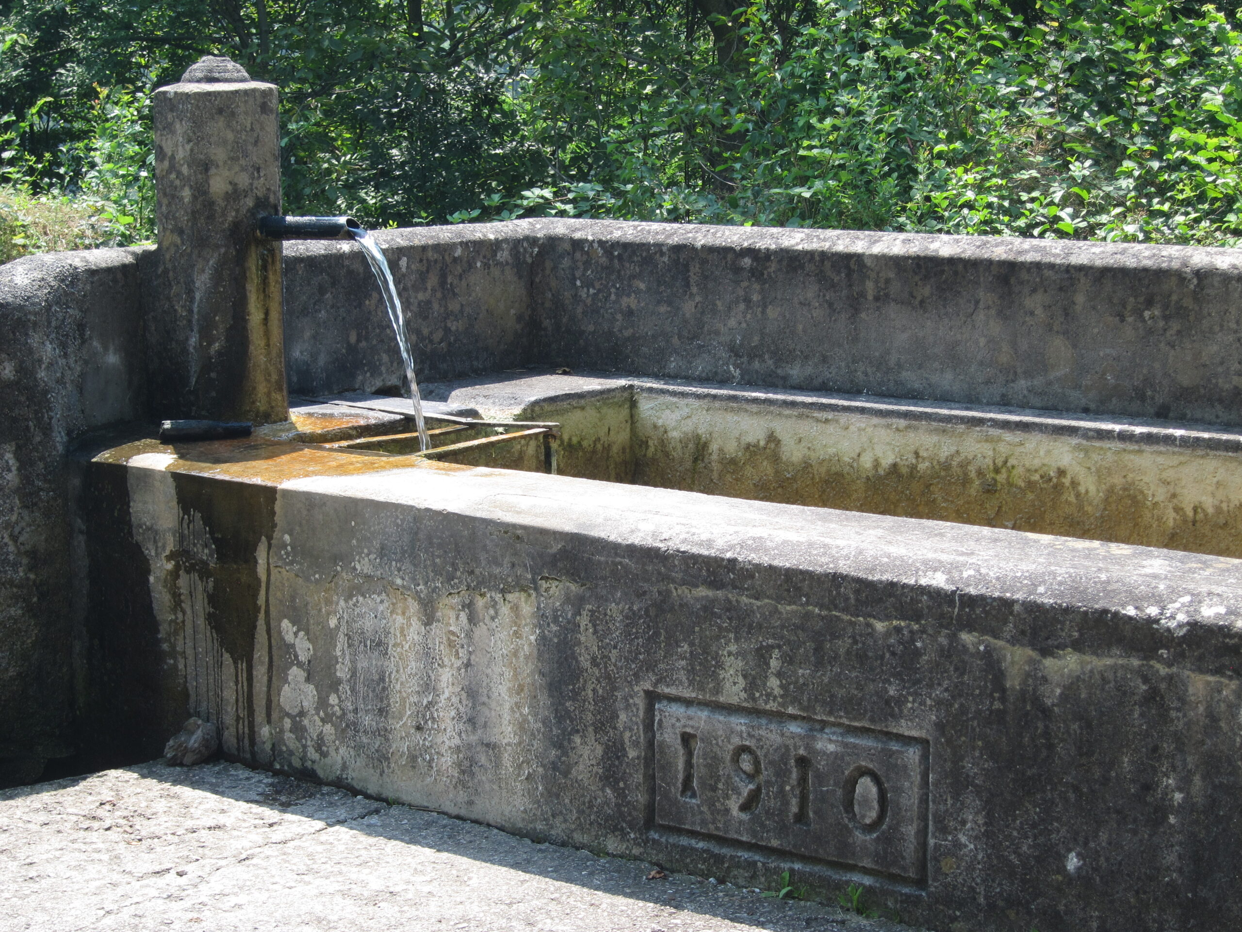
On the western side of the plateau, a few kilometers beyond Trava, is the Chiassis locality. Overlooking the Degano stream, it allows us to climb the valley of the same name without having to go down to Villa Santina. Here there is a fountain dating back to the beginning of the last century.
Distance table
The location of Casa Saveri offers its guests the opportunity to make day trips by car or motorbike to visit not only Carnia but also the neighboring regions. In order to give you a quick overview and to help you choose the most suitable destinations for you and your means of transport, we provide you with this table.
The indicated kilometers are the ACTUAL road distances.
CARNIA
| Location | Distance |
|---|---|
| Villa Santina | 8 km |
| Raveo | 13 km |
| Tolmezzo | 17 km |
| Ovaro | 17 km |
| Verzegnis | 19 km |
| Arta Terme | 24 km |
| Lago di Cavazzo | 26 km |
| Ravascletto | 28 km |
| Zoncolan (through Ovaro) | 28 km |
| Pesariis | 28 km |
| Sutrio | 31 km |
| Paluzza | 32 km |
| Sauris | 34 km |
| Forni Avoltri | 34 km |
| Zoncolan (through Sutrio) | 39 km |
| Forni di Sopra | 42 km |
| Sappada | 45 km |
FRIULI VENEZIA GIULIA
| Location | Distance |
|---|---|
| Venzone | 33 km |
| Tramonti di Sopra | 42 km |
| Gemona | 44 km |
| San Daniele | 54 km |
| Spilimbergo | 61 km |
| Udine | 64 km |
| Passo Pramollo | 69 km |
| Tarvisio | 76 km |
| Cividale | 79 km |
| Palmanova | 87 km |
| Pordenone | 95 km |
| Aquileia | 101 km |
| Grado | 111 km |
| Gorizia | 114 km |
| Lignano | 125 km |
| Trieste | 134 km |
OUTSIDE THE REGION
| Location | Region / Country | Distance |
|---|---|---|
| Lienz | Austria | 95 km |
| Kranjska Gora | Slovenia | 95 km |
| Cortina d’Ampezzo | Veneto | 103 km |
| Villach | Austria | 105 km |
| Portogruaro | Veneto | 125 km |
| Grossglockner | Austria | 136 km |
| Treviso | Veneto | 152 km |
| Brixen | Alto Adige | 157 km |
| Koper | Slovenia | 161 km |
| Venice | Veneto | 190 km |
| Bolzano / Bozen | Alto Adige | 197 km |
| Ljubljana | Slovenia | 200 km |
| Padua | Veneto | 223 km |
| Pola | Croatia | 259 km |
| Graz | Austria | 281 km |
| Salzburg | Austria | 303 km |